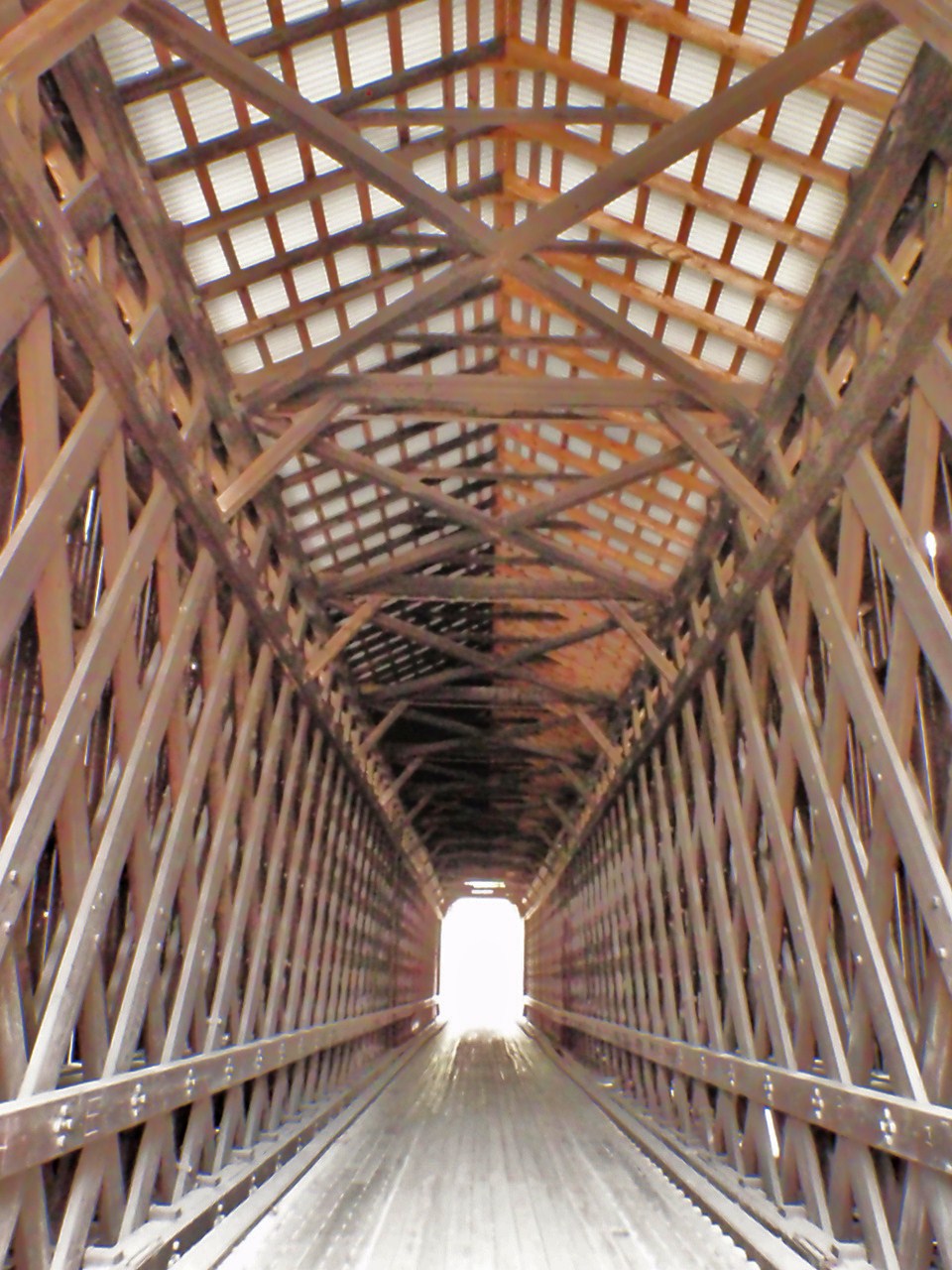
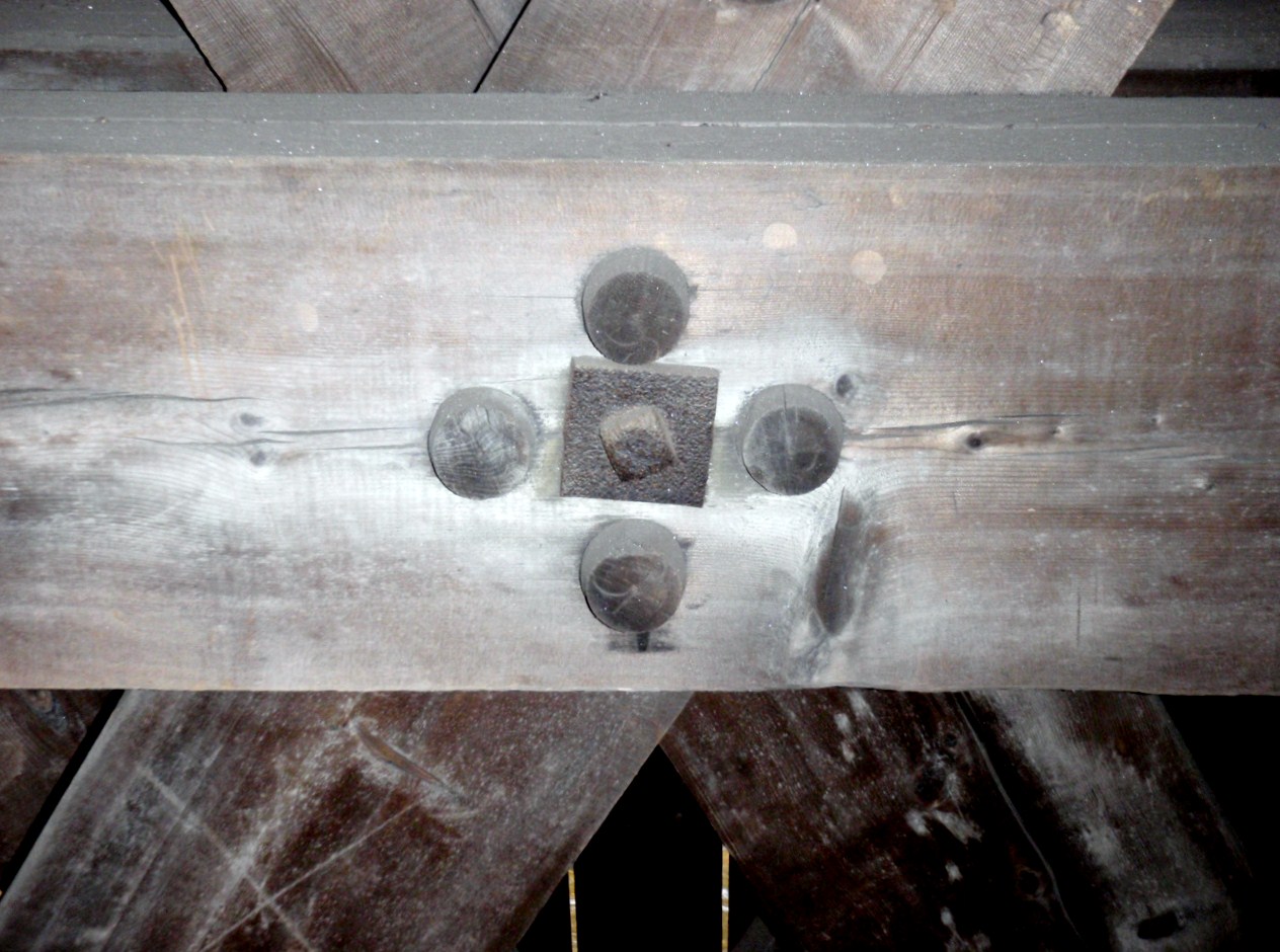
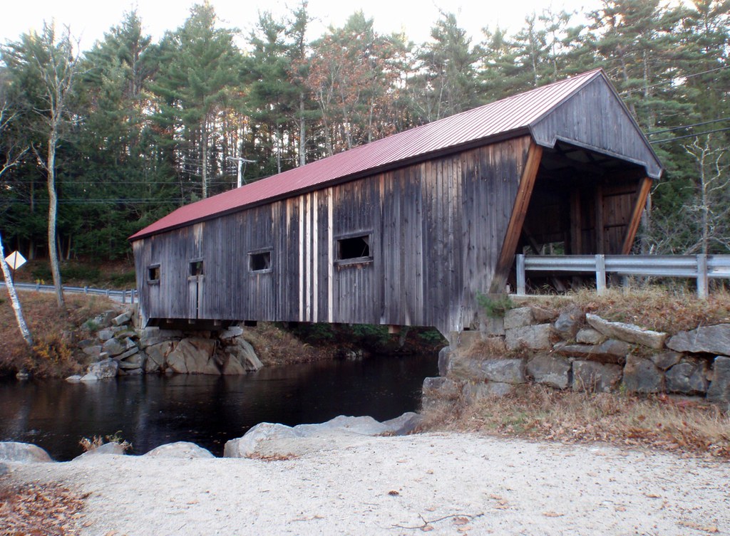
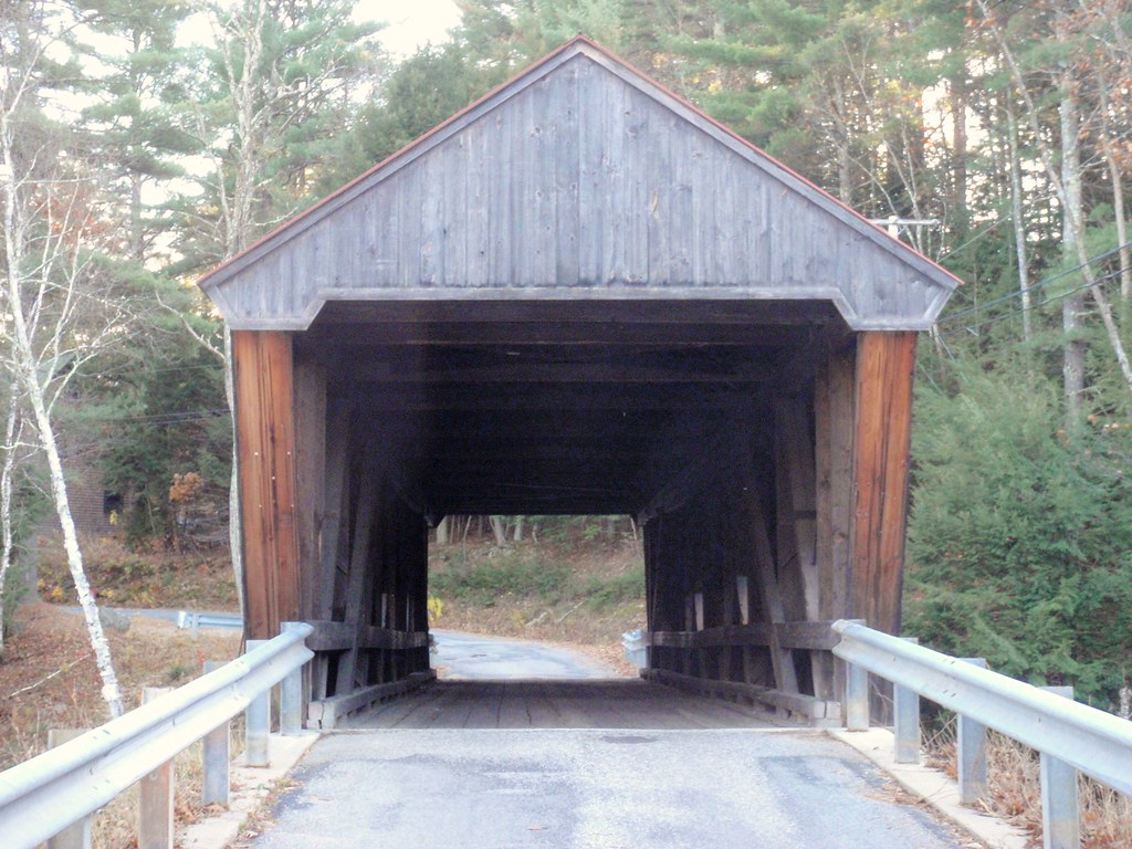
Showing posts with label covered bridge. Show all posts

Friday, February 26, 2010

Cornish-Windsor Covered Bridge, #20

View of the bridge from Vermont side.

Location: West of N.H. Route 12A, five miles south of Plainfield Village on Cornish Toll Bridge Road. This bridge spans the Connecticut River connecting the towns of Cornish N.H. and Windsor, Vt.
Style of Bridge: Town lattice truss
Year of Construction: 1866
Original Cost: $9,000
Structural Characteristics: The bridge is 449'5" long and consists of two spans of 204'0" and 203'0". It has an overall width of 24'0"., a roadway width of 19'6", and a maximum vertical clearance of 12'9". It is posted for ten tons.
Maintained By: New Hampshire Department of Transportation
World Guide Number: 29-10-09
New Hampshire Number: 20

View of icy Connecticut River looking north from Vermont side.

Historical Remarks:

There were three bridges previously built on this site in 1796, 1824 and 1828. The first bridges were destroyed by floods. The current bridge was built by James Tasker and Bela Fletcher. It was framed on a nearby meadow northwest of the site and later moved to its proper location. In 1935, the New Hampshire General Court authorized funds to purchase the bridge. The structure was purchased by the state in 1936 and operated it as a toll bridge until June 1, 1943. After renovation by the state in 1954, the Cornish Windsor Bridge suffered damage from flood water and ice in 1977. It was repaired again by the state for $25,000. Because of its deteriorated condition, it was closed to traffic on July 2, 1987. The bridge was reconstructed by the state in 1989 at a cost of $4,450,000 and was opened to traffic on December 8, 1989. This is the longest wooden covered bridge in the United States and the longest two-span covered bridge in the world. The American Society of Civil Engineers designated it as a National Historic Civil Engineering Landmark in 1970. The bridge is featured on the Town Bicentennial Medal struck in 1976. The Cornish-Windsor Bridge is listed on the National Register of Historic Places.


National Historic Civil Engineering Landmark
Cornish-Windsor Covered Bridge

Looking north up the Connecticut River

Hon. Robert J. Harris
In recognition of his dedication to the people and history of the communities this bridge connects.
Vermont State Representative 1976-1997
Windsor Town Moderator, Windsor Selectman


"Walk your horses or pay two dollar fine."

CORNISH-WINDSOR BRIDGE

Built in 1866 at a cost of $9,000, this is the longest wooden bridge in the United States and the longest two-span covered bridge in the world. The fourth bridge at this site, the 460-foot (140 m) structure was built by Bela J. Fletcher (1811-1877) of Claremont and James F. Tasker (1826-1903) of Cornish, using a lattice truss patented by architect Ithiel Town in 1820and 1835. Built as a toll bridge by a private corporation, the span was purchased by the state of New Hampshire in 1936 and made toll-free in 1943.

Technorati Tags: Del.icio.us Tags: Flickr Tags:

diigo it

_/\_/\_

Tuesday, February 23, 2010

Blow-Me-Down Bridge #23

Location: South of N.H. Route 12A, one and one-half miles southwest of Plainfield Village on Mill Road in "Squag City" in Cornish. The bridge spans a deep gorge on the Blow-Me-Down Brook.
Style of Bridge: Multiple Kingpost truss
Year of Construction: 1877
Original Cost: $528
Structural Characteristics: The bridge is 85'9" long with a clear span of 74'6". It has an overall width of 16'4" with a roadway width of 13'8" and a maximum vertical clearance of 9'11". A cross beam (tell-tale) set at a height of 7'0" has been installed at each approach to block high vehicles. The bridge is posted for six tons.
Maintained By: Town of Cornish
World Guide Number: 29-10-10
New Hampshire Number: 23

Ice formation in Blow-Me-Down Brook beneath the bridge.

Historical Remarks:
The bridge was build by James Tasker. The structure was repaired by Milton Graton and his son Arnold in 1980. The restoration was made possible with the aid from a federal Historic Preservation Fund matching grant from the National Park Service of the U.S. Department of the Interior through the New Hampshire Division of Historical Resources, the Town of Cornish, the Cornish Historical Society, and private contributions. The Blow-Me-Down Bridge is listed on the National Register of Historic Places.


Historic display inside the bridge.
Relics of the Bridge circa 1877
Old Growth Spruce: One of four post cutouts to repair broken post-strut joints in North Post.
Bolt used to fasten original wind braces to posts.
Cedar shingle taken from roof 9/02
Original chord bolt taken from rotten SE corner during 1980 repair.
Original bottom chord clamps. (Note the more rugged 2002 replacements) The bridge was overloaded?


Technorati Tags: Del.icio.us Tags: Flickr Tags:

diigo it

_/\_/\_
Monday, February 22, 2010

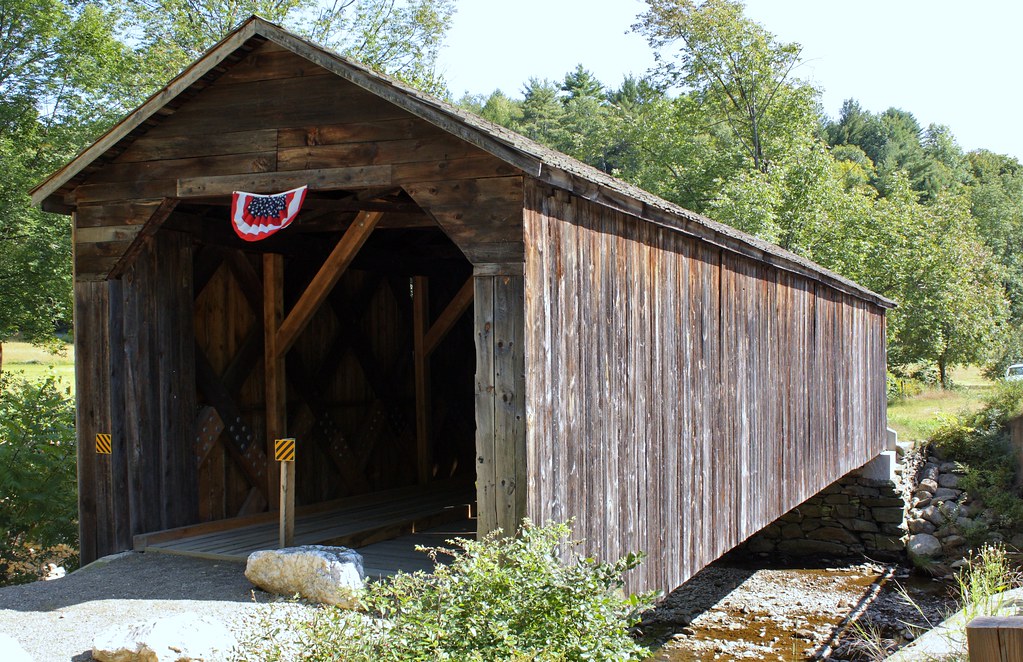
Dingleton Hill Covered Bridge, #22

Location: One mile east of N.H. Route 12A on Root Hill Road at the foot of Dingleton Hill in Cornish over Mill Brook.
Style of Bridge: Multiple Kingpost truss
Year of Construction: 1882
Original Cost: $812
Structural Characteristics: The bridge is 77'9" long with a clear span of 62'6". It has an overall width of 16'4" with a roadway width of 12'9" and a maximum vertical clearance of 10'5". A cross beam (tell-tale) has been erected at each approach at a height of 7'6" to block high vehicles. The bridge is posted for six tons, passenger cars only.
Maintained By: Town of Cornish
World Guide Number: 29-10-02
New Hampshire Number: 22

Historical Remarks:
The bridge was built by James Tasker who is known to have built at least eleven bridges in the area. It was assembled in a schoolyard and then transported to the site. The farmers who used it would occasionally repair it. Milton Graton restored it in the summer of 1983 at which time he repaired the stone abutments and leveled the bridge. He also installed new bearing shoes, new plank flooring and sheathing, some new components, and repaired the roof. The cost of rehabilitating the bridge, in combination with the Blacksmith Shop covered bridge, was $30,000. The cost of restoration was made possible from a federal Historic Preservation Fund matching grant from the National Park Service of the U.S. Department of the Interior through the New Hampshire Division of Historical Resources, the Putnam Foundation, the Cecil Howard Charitable Trust, the Eva Gebhard-Gourgaud Foundation, and the Town of Cornish. The bridge was rededicated on October 23, 1983 with Hyland Tasker, a great-grandnephew of James Tasker in attendance. The Dingleton Hill Bridge is listed on the National Register of Historic Places.

diigo it

_/\_/\_

Sunday, February 21, 2010

Meriden Covered Bridge #24

Location: One mile northwest of N.H. Route 120 in Meriden Village on Colby Hill Road spanning Blood Brook in the town of Plainfield.
Style of Bridge: Multiple Kingpost Truss
Year of Construction: 1880
Original Cost: $685
Structural Characteristics: The bridge is 80'0' long with clear spans of 36'9" and 29'3". It has an overall width of 16'7" with a roadway width of 13'3", and a maximum vertical clearance of 13'3". The bridge is posted for six tons.
Maintained By: Town of Plainfield
World Guide Number: 29-10-08
New Hampshire Number: 24

Historical Remarks:

The current bridge is the third one on this site. The previous two were open timber structures. The present bridge was built by James Tasker for a fee of $465. Levi Sanderson was paid $220 for building the bridge abutments. After being damaged by Hurricane Carol on August 30, 1954, it was repaired at a cost of $3,000. In 1963, the bridge was rebuilt and steel beams were introduced to carry a load of fifteen tons. This is thought to be the first covered bridge in New Hampshire to be repaired under the state's Town Bridge Aid program. In the spring 1977, heavy snows caused the roof to cave in. The repairs cost $8,296. In 1985, the state repaired the substructure for $57,000. The bridge is also know as Mill Bridge. The Meriden Bridge is listed on the National Register of Historic Places.


Technorati Tags: Del.icio.us Tags: Flickr Tags:

diigo it

_/\_/\_

Thursday, December 31, 2009

Keniston Covered Bridge #15


Location: South of U.S. Route 4, one mile west of Andover Village on Lorden Road over the Blackwater River in Andover.
Style of Bridge: Town lattice truss
Year of Construction: 1882
Original Cost: $745.57
Structural Characteristics: The bridge is 64'6" long with a clear span of 54'2". It has an overall width of 18'9" with a roadway width of 15'10" and a maximum vertical clearance of 12'0". It is partially sheathed on the sides and has a deep overhang reminiscent of the rakish prow of a ship. The bridge is posted for six tons.
Maintained By: Town of Andover
World Guide Number: 29-02-02
New Hampshire Number: 15

Historical Remarks:
The structure of the bridge was built by Albert R. Hamilton. The bridge's name, Keniston, came from a prominent family of that name who lived for many years in one of the old homesteads in town. The bridge has been damaged only once, in 1972, when ice tore off several planks. The bridge was rehabilitated by the town in 1981 at a cost of $80,000. During the rehabilitation process, the bridge was lifted by two cranes and moved to a temporary site only a few feet above the water level. The engineers had to work quickly to make sure the abutment repairs were completed and the bridge relocatd to its proper location before heavy rains and rising waters could carry it away. The Keniston Bridge is listed on the National Register of Historic Places.

And as Wingnut and I saw it on the Rail Trail last summer on our bike ride:


Technorati Tags: Del.icio.us Tags: Flickr Tags:

diigo it

_/\_/\_

McDermott Covered Bridge #18

source: New Hampshire Covered Bridges

Location: North of N.H. Route 123A, two miles north of Alstead Village in Langdon.
Style of Bridge: Town lattice truss with light arches
Year of Construction: 1869
Original Cost: $450
Structural Characteristics: The bridge is 81'0" long with a clear span of 76'0". It has an overall width of 16'6" with a roadway width of 12'1" and a maximum vertical clearance of 11'1". It is braced by cables attached to the new highway bridge which bypassed it in 1964. It is now used for foot traffic only.
Maintained By: Town of Langdon
World Guide Number: 29-10-06
New Hampshire Number: 18

Historical Remarks:
Three bridges previously stood on this site. They were built in 1790, 1814, and 1840 and were all of the pole and plank type. The current bridge, built in 1869, was of a type patented by Sanford Granger in 1833. The patent appears to be a modification of the Town lattice truss. Sandford Granger owned a sawmill on Fall Mountain Brook from 1838 until 1851. Virgin timber removed from the mountain was used in the construction of his bridges. The current structure was built by his son Albert S. Granger. In 1961, an estimate of $7,000 was given to the town for the restoration of the bridge. The town was to pay $2,100 and the state $4,900. However, the town decided to establish a sinking fund to pay for building a modern bridge which was built downstream in 1964 under the Town Bridge Aid Program. The covered bridge was closed to vehicular traffic and retained for historic reasons. The structure is also known as the Cold River Bridge. The McDermott Bridge is listed on the National Register of Historic Places.

In the October 2005 floods, this bridge was nearly destroyed. It was rebuilt and restored on a firmer foundation.

McDermott Covered Bridge (5)

Technorati Tags: Del.icio.us Tags: Flickr Tags:

diigo it

_/\_/\_

Wednesday, December 30, 2009

Pier Covered Bridge, #57


Location: East of Chandler Station and west of N.H. Route 103 on the Concord and Claremont Railroad line in Newport spanning the Sugar River.
Style of Bridge: Double Town-Pratt lattice truss
Year of Construction: 1907
Original Cost: Unknown
Structural Characteristics: The bridge is 216'7" long with clear spans of 103'0" and 98'0" with a center pier. It has an overall width of 20'9" with a railbed width of 15'0", and a maximum vertical clearance of 21'1". This section of rail line has been abandoned.
Maintained By: New Hampshire Department of Resources and Economic Development
World Guide Number: 29-10-03
New Hampshire Number: 57

source: New Hampshire Covered Bridges

Historical Remarks:
The current bridge was built in 1907 by the Boston and Maine Railroad to replace a wood lattice bridge constructed in 1871-1872 by the Sugar River Railroad. The double Town/Pratt lattice trusses with laminated arches were long favored on the branch lines of the Boston & Maine Railroad, largely under the influence of engineer J.P. Snow. In 1900 at least one hundred of this type were in use on the Boston & Maine system. This bridge is also known as the Chandler Station Bridge. The Pier Bridge is listed on the National Register of Historic Places.


Technorati Tags: Del.icio.us Tags: Flickr Tags:

diigo it

_/\_/\_

Tuesday, December 29, 2009

Dalton Covered Bridge (#12)

We finally sent my soggy Canon Rebel XSi to Canon for repairs. Once the cold weather set in in October, it simply would not work. I took these photographs with the new Olympus Tough 8000 that I had never bothered to learn how to use.

Dalton Bridge is in Warner, New Hampshire in the old village, and crosses the Warner River.

source: New Hampshire's Covered Bridges

Location: South of N.H. Route 103 on Joppa Road spanning the Warner river in Warner.

Style of Bridge: Long truss with an auxiliary Queenpost system

Year of Construction: Approximately 1853

Original Cost: $630.12

Structural Characteristics: The bridge is 76'6" long with a clear span of 70'10". It has an overall width of 17'3"; with a roadway width of 12'10", and a maximum vertical clearance of 10'10".
It is posted for six tons.

Maintained By:Town of Warner
World Guide Number: 29-07-05
New Hampshire Number: 12

Historical Remarks:
The structure was built by Joshua Sanborn. George Sawyer and Walter S. Davis built the abutments. Repairs were made to the bridge in 1871 at a cost of $134.81. In 1990, the state repaired the diagonal and the portal, and installed a new metal roof. There has been some debate as to the classification of the truss system. The Warner Historical Society in its 1974 publication, Warner N.H. 1880-1974, classified the bridge as a Haupt-type truss. the New Hampshire Department of Transportation indicates a classification of multiple Kingpost with an auxiliary Queenpost system. However, based on the National Register of Historic Places nomination form, it would appear to be classified as a Long truss with an auxiliary queenpost system. This is one of the oldest standing covered bridges in use today. It is also known as the Joppa Road Bridge. The bridge was rebuilt in 1963-1964. The rebuilding costs were shared by the town and the state. The Dalton Bridge is listed on the National Register of Historic Places.


Technorati Tags: Del.icio.us Tags: Flickr Tags:

diigo it

_/\_/\_

Tuesday, December 8, 2009

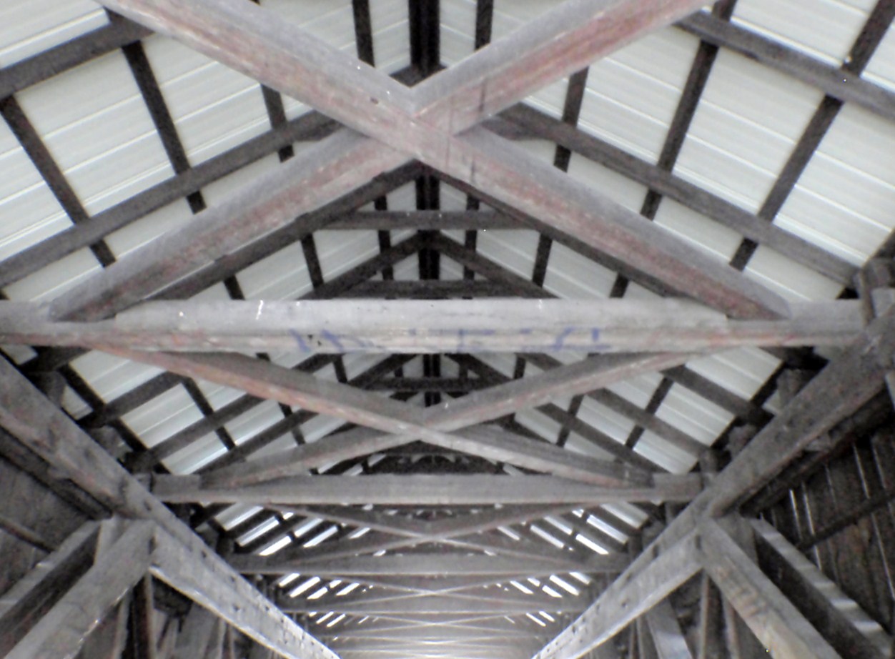
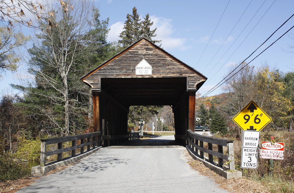
Bement Covered Bridge #14

source: New Hampshire Covered Bridges:

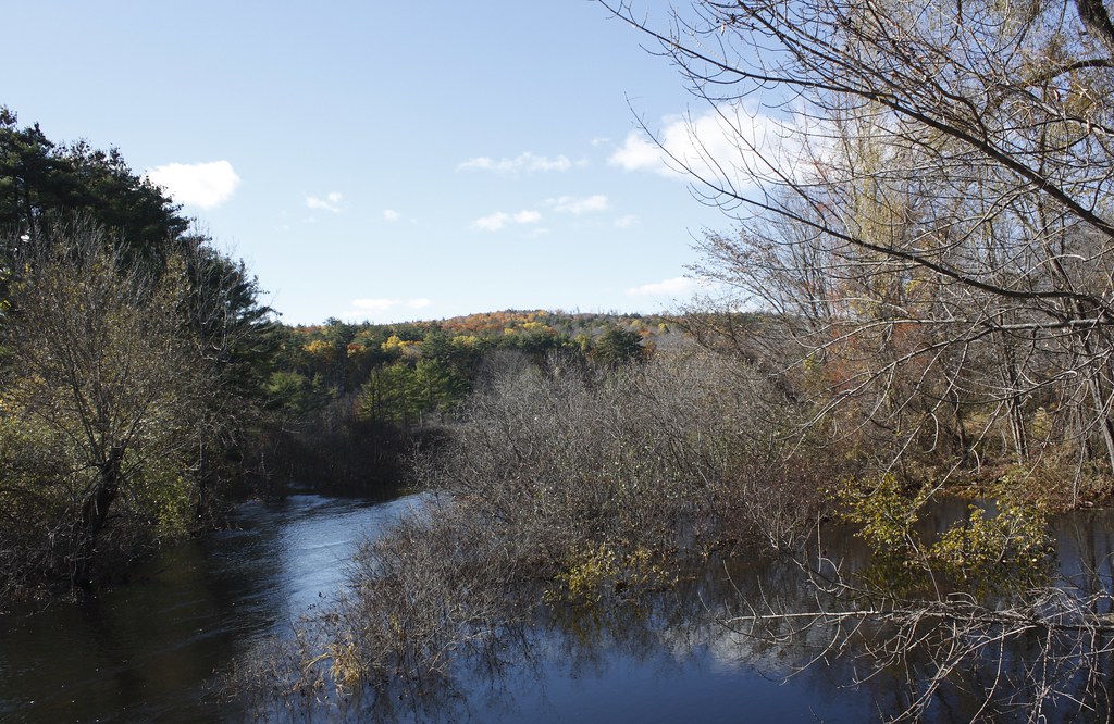
Location: One quarter mile north of the intersection of N.H. Routes 103 and 114 on the Bradford Center Road in Bradford. The bridge spans the west branch of the Warner River.

Style of Bridge: Long truss
Year of Construction: 1854
Original Cost: $500
Structural Characteristics: The bridge is 60'6" long with a clear span of 53'9". It has an overall width of 19'3" with a roadway width of 16'2", and a maximum vertical clearance of 13'2". It is posted for three tons.
Maintained By: Town of Bradford
World Guide Number: 29-07-03
New Hampshire Number: 14

Historical Remarks:
This is the third bridge at this location. Tradition has it that Colonel Stephen H. Long, a Hopkinton native and a member of the U.S. Army Topographical Engineers, built the bridge entirely of hemlock. No evidence was found however to support or dispute the claim. Much of Colonel Long's bridge building experience came from his employment with the Baltimore and Ohio Railroad. While working for the railroad, he developed a plan for a new covered bridge truss that became nationally known as the Long truss. Long patented his design in 1830. In 1835 and 1837 he patented improvements to the design. The town extensively rebuilt the bridge in 1947. The bridge was closed in March 1968 and repaired by the state in 1969 for $24,478.14. One-third of the cost was borne by the town. Vehicular damage to the bridge was repaired in 1987 by the state at a cost of $2,000. A cracked floor beam was repaired by the town during the winter of 1989-1990. The Bement Bridge is listed on the National Register of Historic Places.


diigo it

_/\_/\_

LinkWithin

Related Posts with Thumbnails