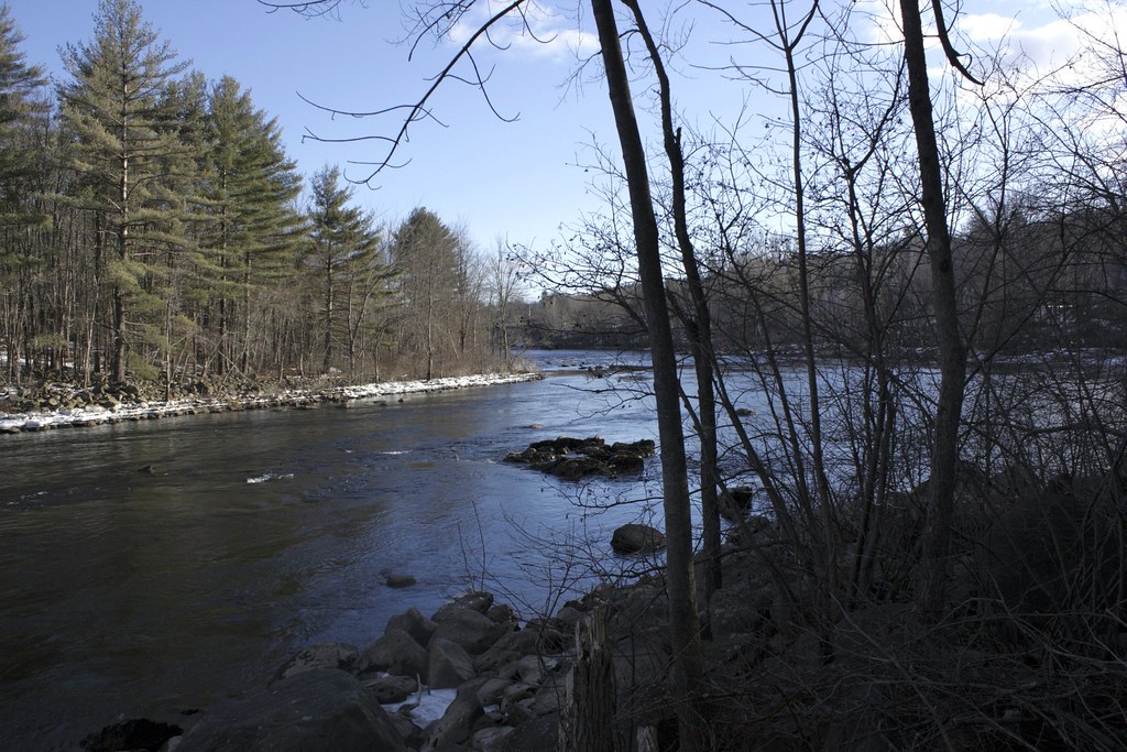
For Friday's SkyWatch, I posted a photograph of the Pemigewasset River in Franklin, New Hampshire. If you are interested, you can click that link to see the photo. I was standing on the river bank and looking to my right down the river for that photograph. When I turned to the left, the Eastman Falls Dam can be seen.
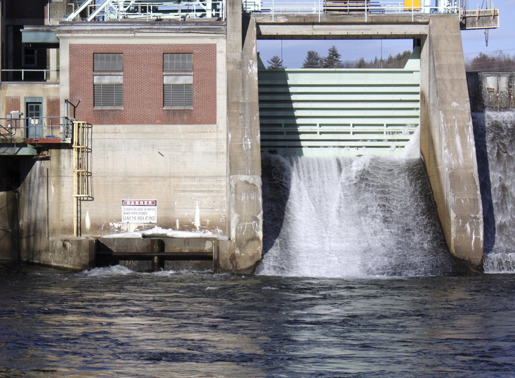
 "Completed in 1901 by B&M Railroad and redeveloped in 1937 by PSNH, Eastman Falls Hydro is located on the Pemigewasett River. Power generation is controlled so that river inflow is always equal to outflow. The site has a picnic area developed jointly with the Franklin Chamber of Commerce.
Facts:
|

Above: An undated postcard of the Eastman Falls Dam
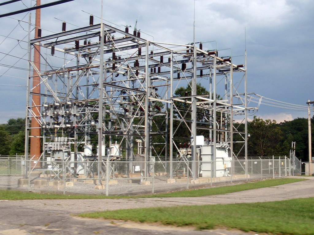 One more note: Above you see the electric substation on the ground above the dam. After I fell into the Merrimack River with my Canon DSLR camera, I decided it would be wise to buy a waterproof camera for kayaking. One day while John drove, I played and practiced with my new Olympus Tough 8000 camera and got this shot of the Eastman Falls Substation as you see it here (my post for this photo is here). Pretty good for a random shot from a speeding car!

_/\_/\_