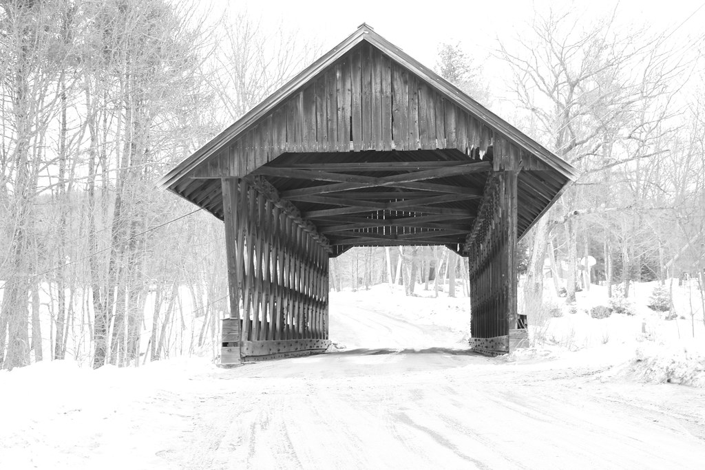
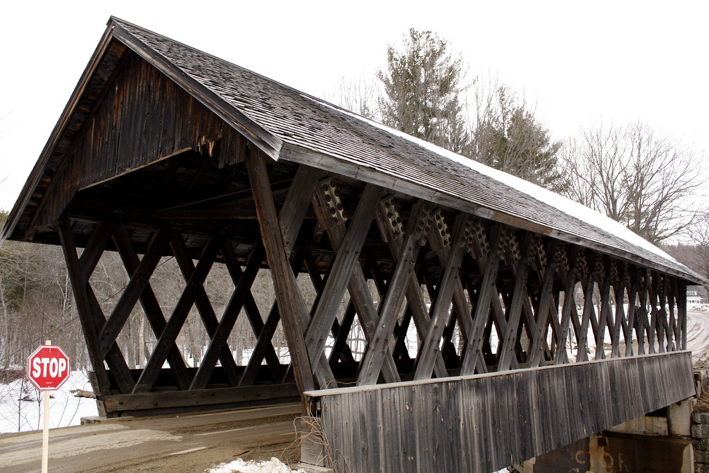
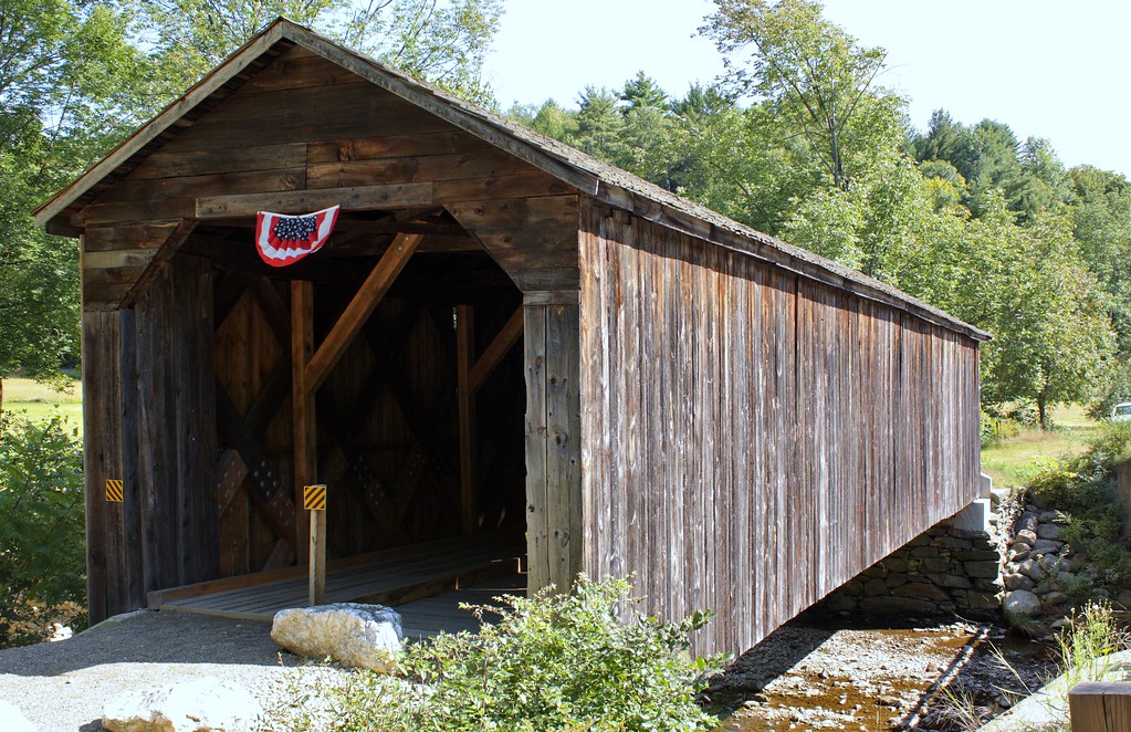
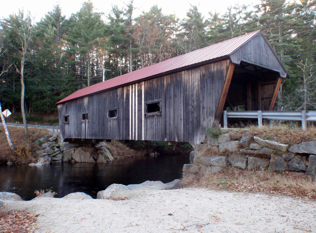
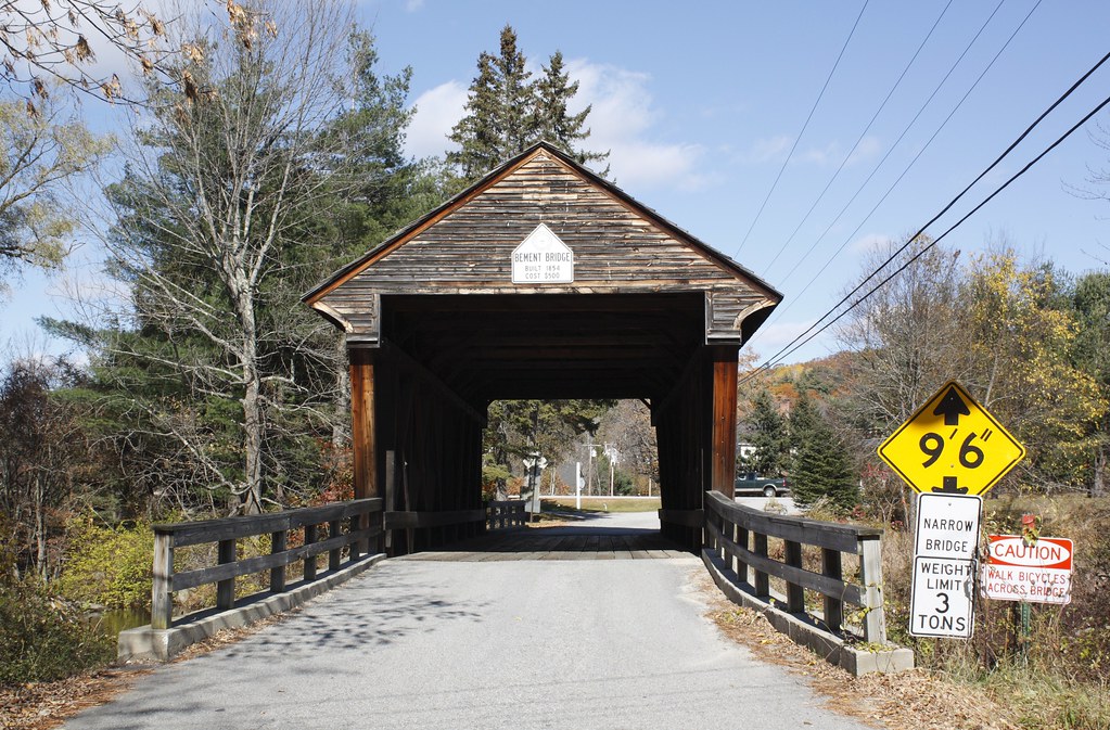
source: New Hampshire Covered Bridges:
Location:
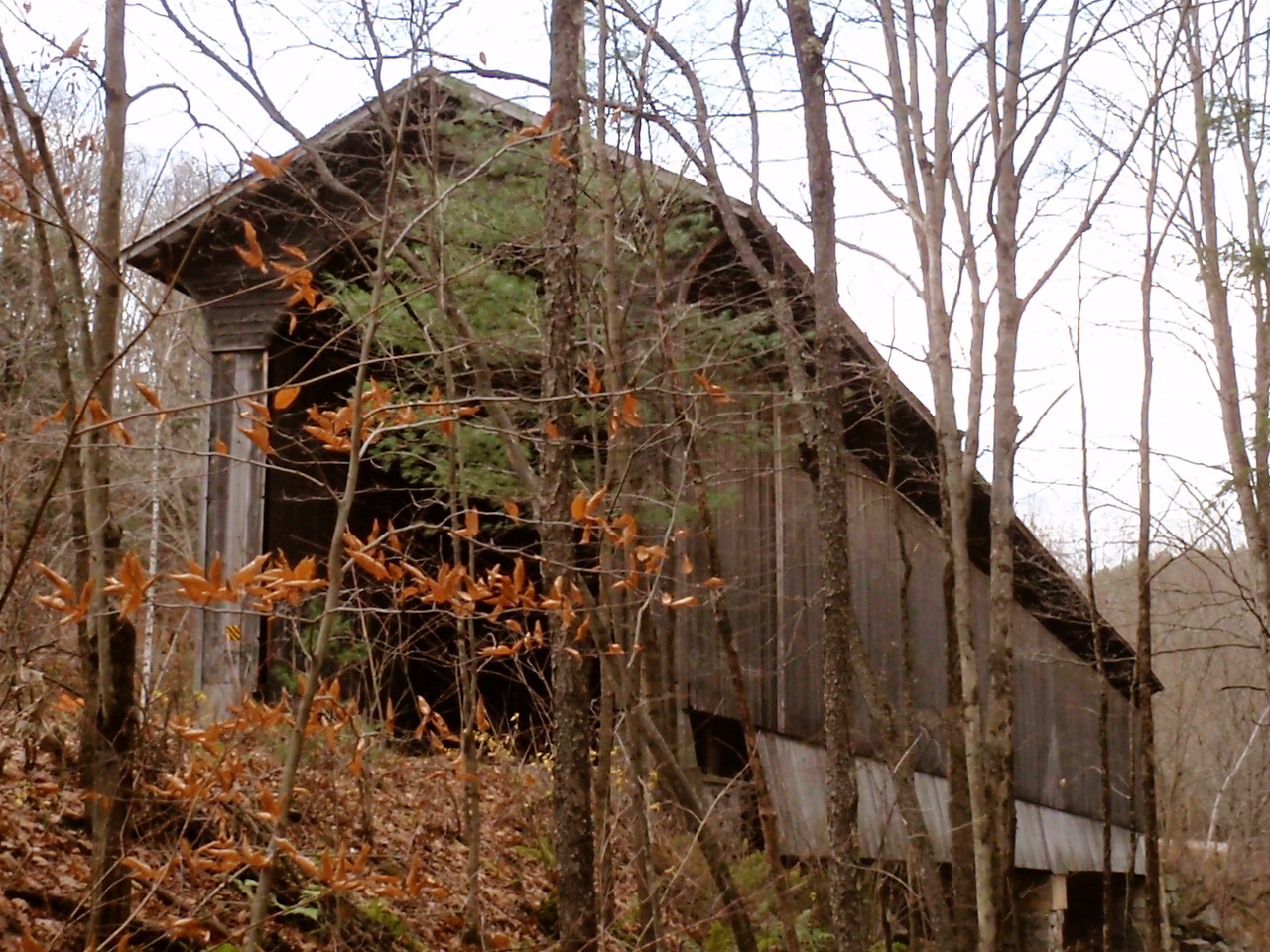
West of N.H. Route 10 on North Newport Road, two miles north of Newport Village over the Croydon Branch of the Sugar River.
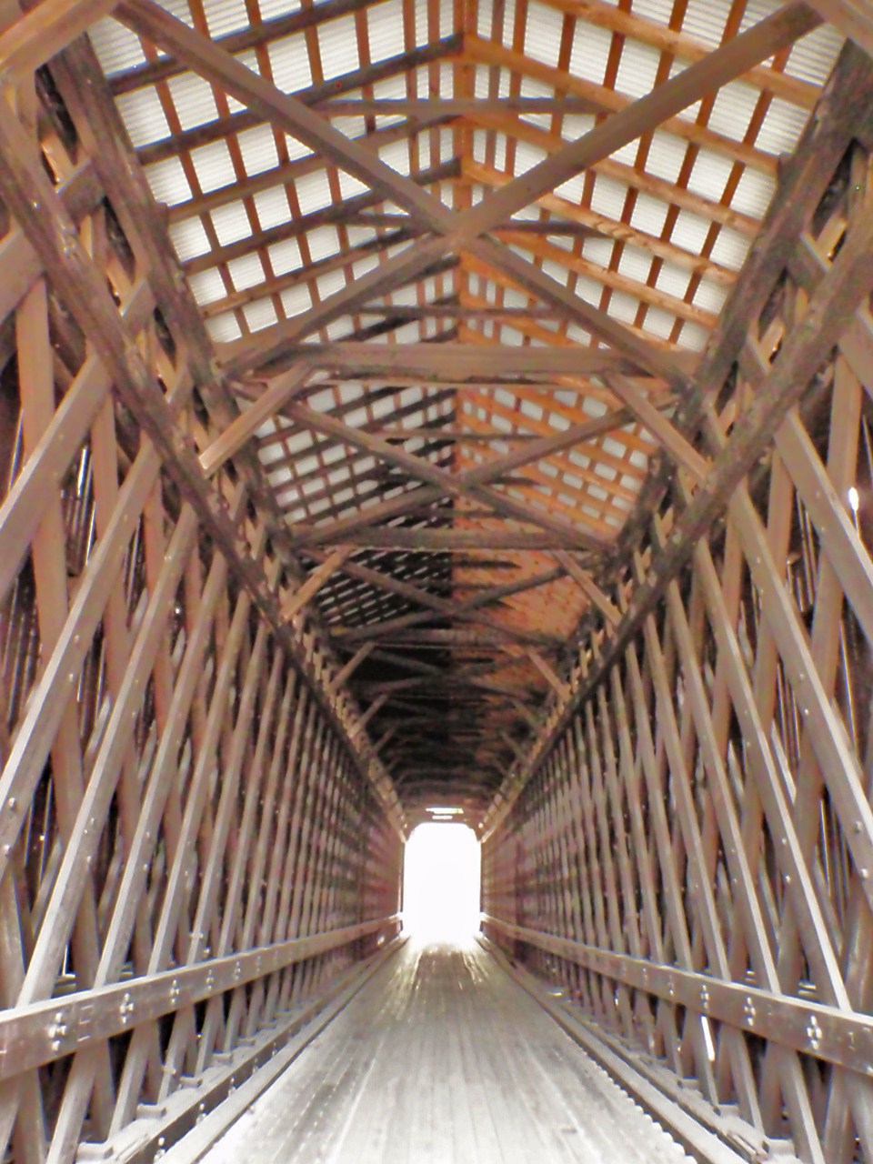
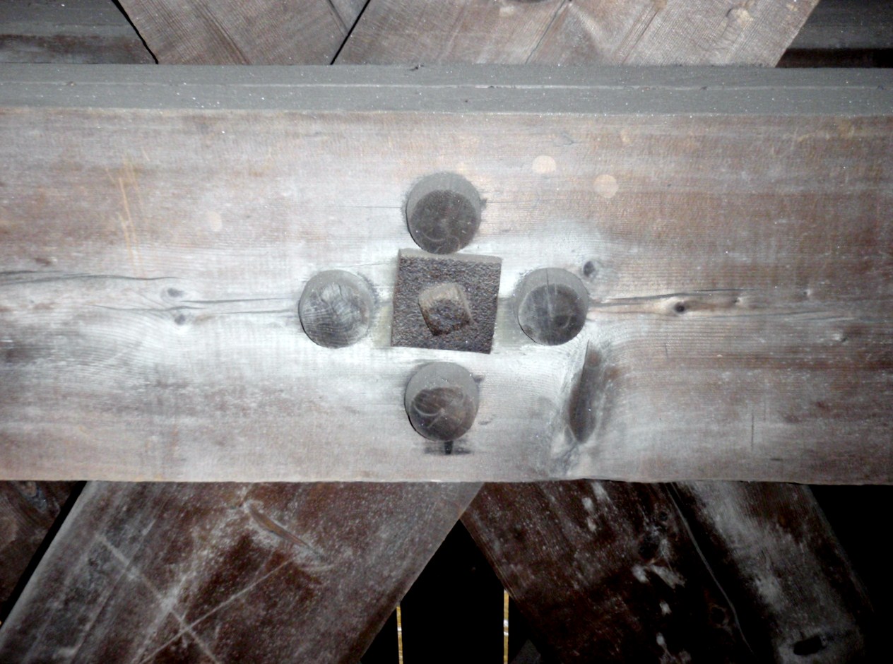
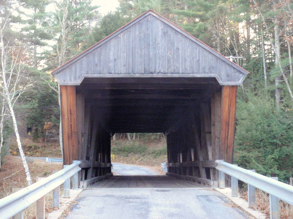
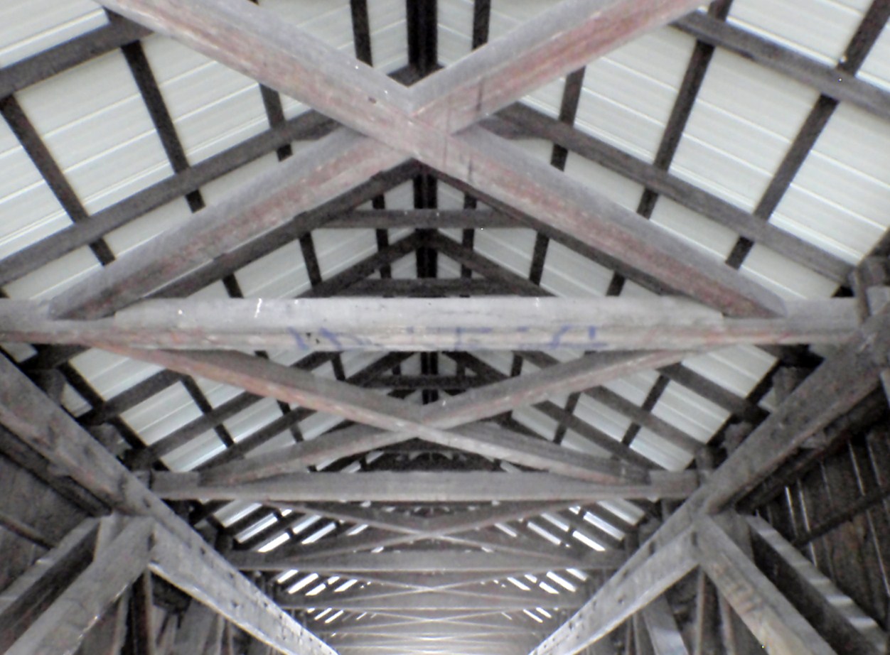
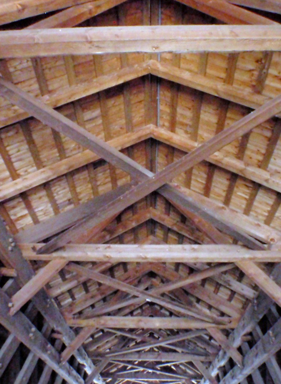
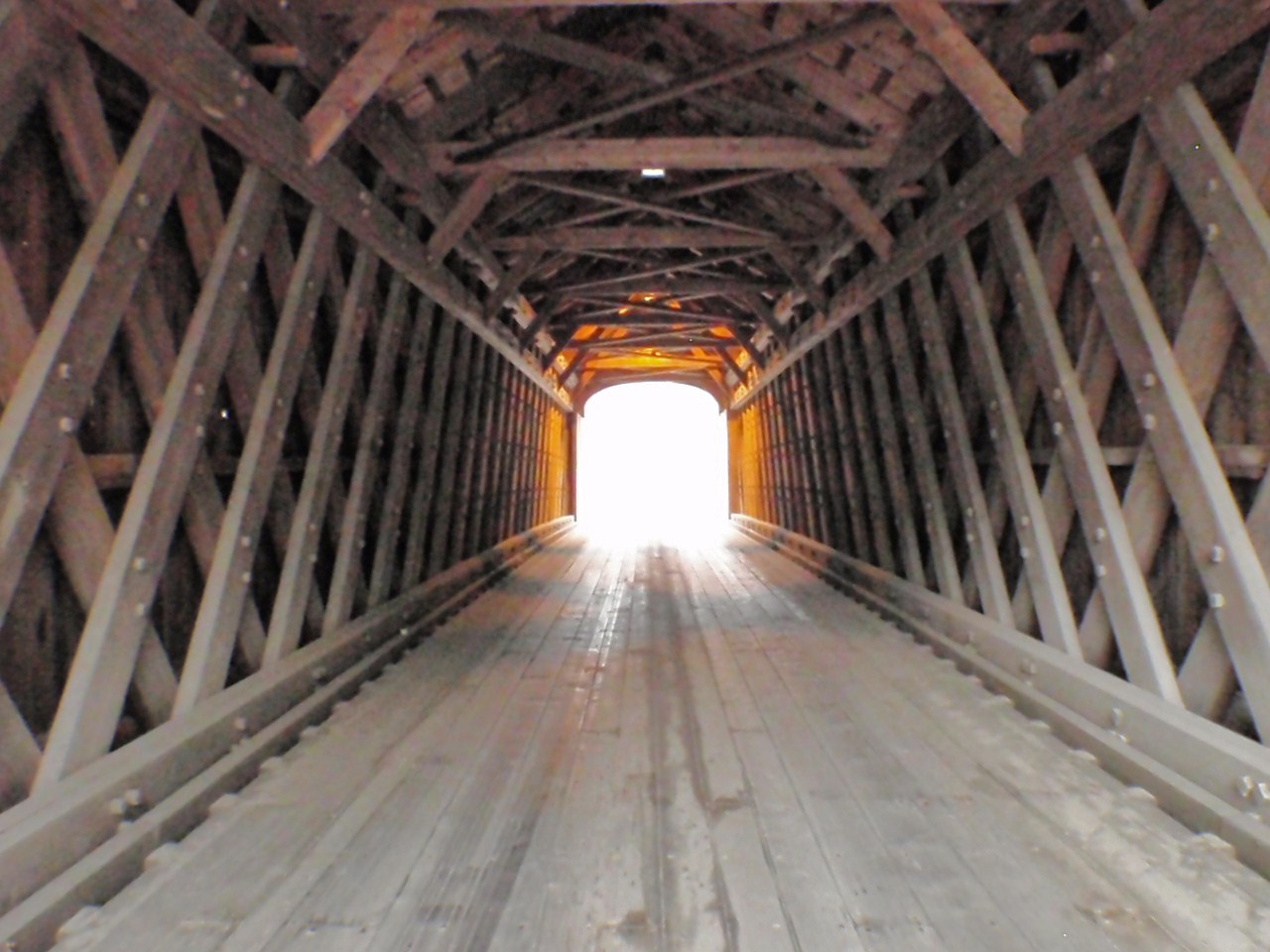
Style of Bridge: Town lattice truss
Year of Construction: Approximately 1845
Original Cost: Unknown
Structural Characteristics:
The bridge is 96'2" long with a clear span of 80'0". It has an overall width of 17'11" with a roadway width of 14'3", and a maximum vertical clearance of 12'3". It is fully sheathed. The structure is posted for six tons.
Maintained By: Town of Newport
World Guide Number: 29-10-05
New Hampshire Number: 17
 Historical Remarks:
The state suggested closing the bridge in May 1979, but the town reduced the posted weight limit from six to three tons. It was rehabilitated by the state in 1980 at a cost of $43,000. The project was funded, in part, with a federal Historic Preservation Fund matching grant from the National Park Service of the U.S. Department of the Interior through the New Hampshire Division of Historical Resources. The bridge was then reposted for a six ton limit. The Corbin Bridge was listed on the National Register of Historic Places. On May 24, 1993, the Corbin Bridge was destroyed by fire. At the time of the publication, the town of Newport expressed the intention to replace the structure with another covered bridge.
Technorati Tags: Corbin Covered Bridge Newport NH Del.icio.us Tags: Corbin Covered Bridge Newport NH Flickr Tags: Corbin Covered Bridge Newport NH

_/\_/\_